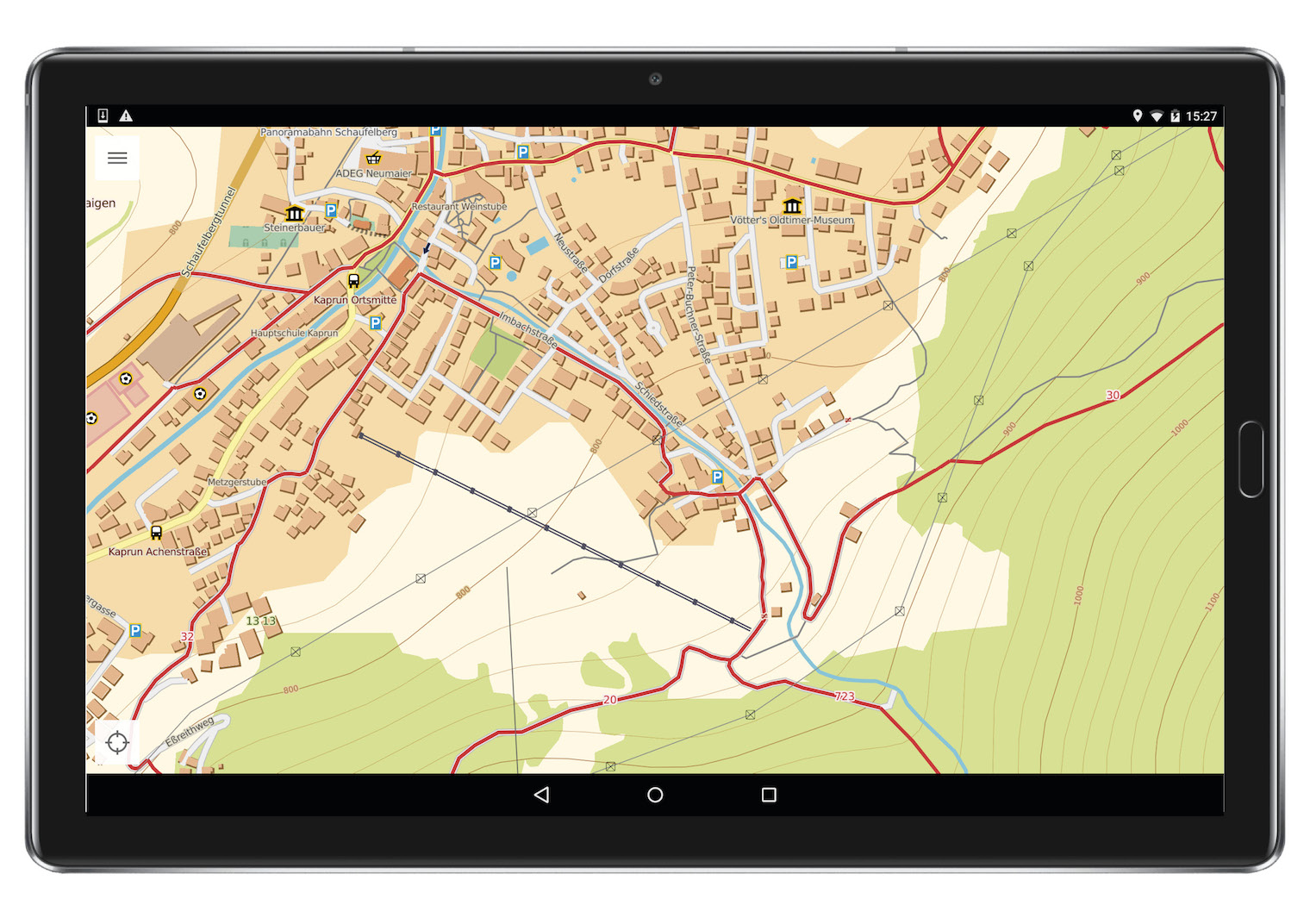
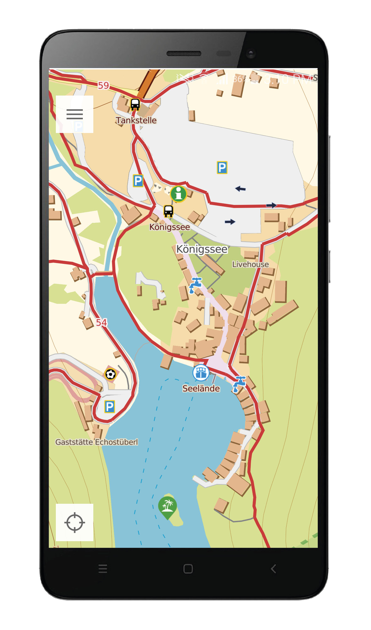
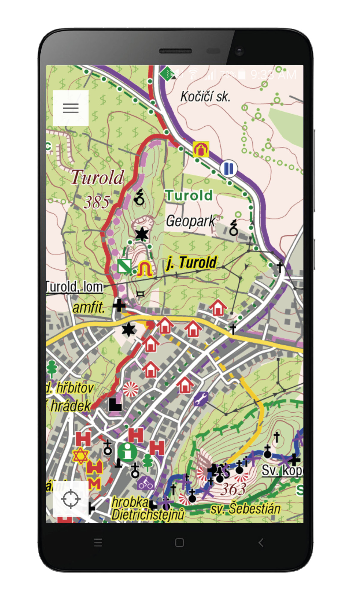
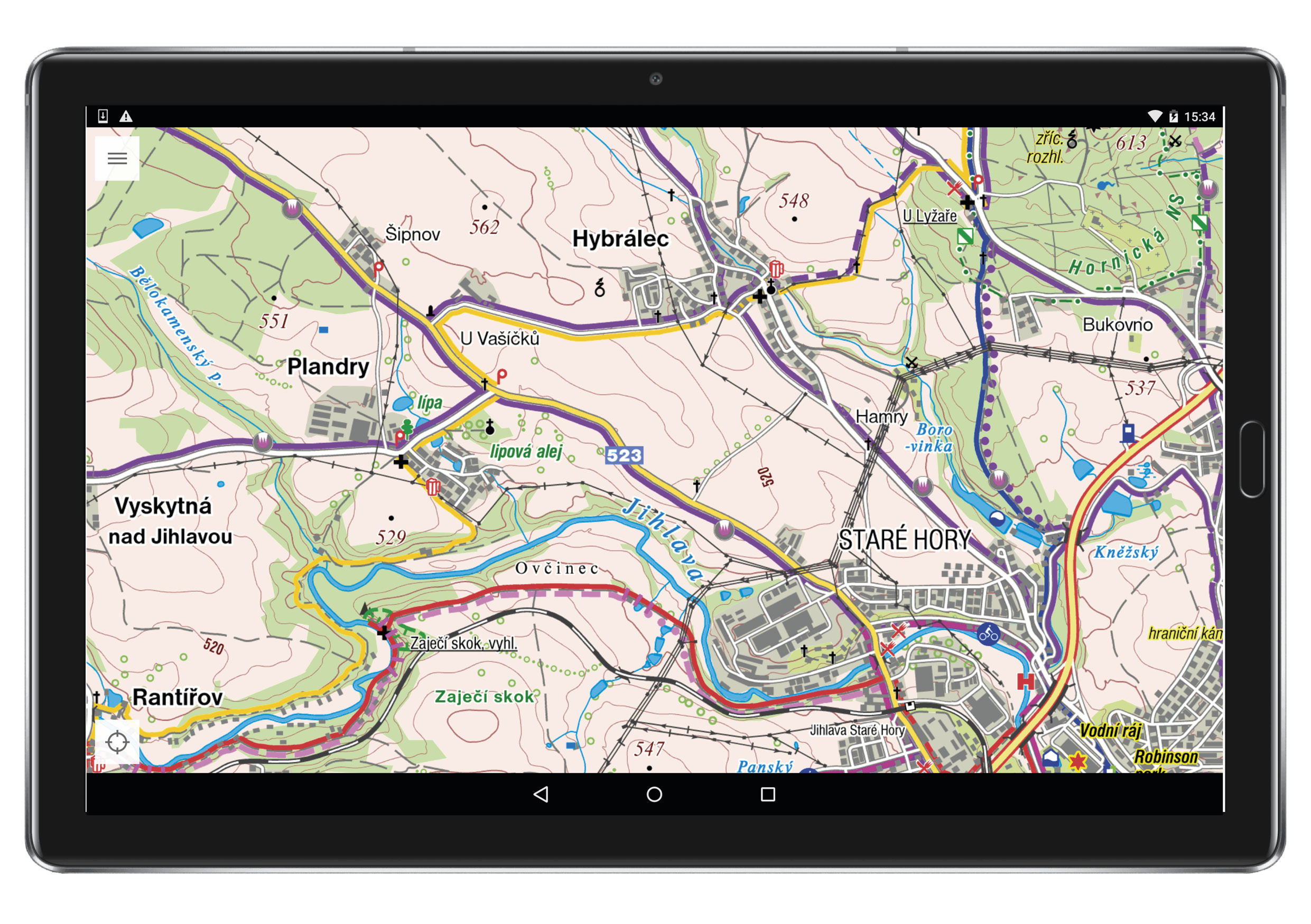
A few days ago, the mobile map application PhoneMaps was updated, which is created in cooperation between cartographic companies freytag & berndt and SHOCarthe one whose advantage is the display of a complete network of marked hiking and cycling trails in a large part of Europe. SHO paper cycle mapsCarhere they have become a phenomenon in the Czech Republic and Slovakia, freytag & berndt tourist maps are known especially in the Alps. Similar applications mostly display map data taken only from the OpenStreetMap project, which are insufficient especially for tourism and cycling, they contain only a small percentage of marked trails in the field.
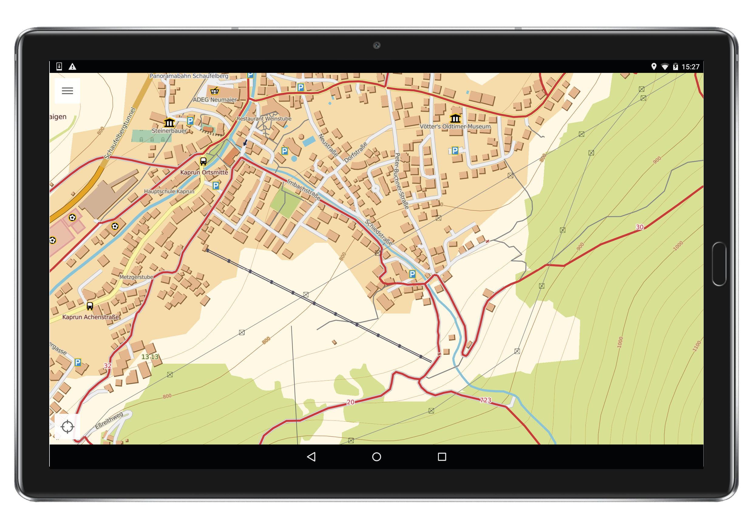
The PhoneMaps mobile application offers FREE zoomable hiking and cycling maps with a complete network of marked hiking and cycling routes in almost all of Europe, the maps can be enlarged up to a very detailed scale of 1:5. in the field and record your routes and experiences and then you can share them with friends.
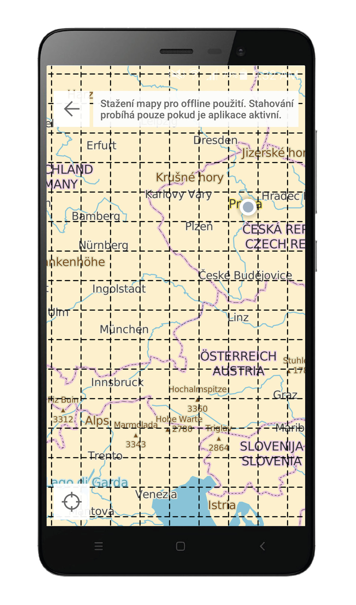
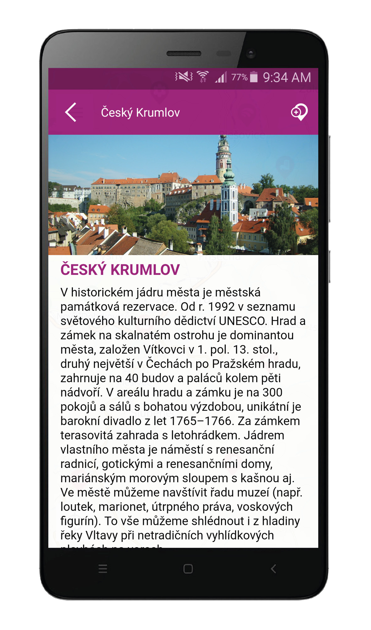
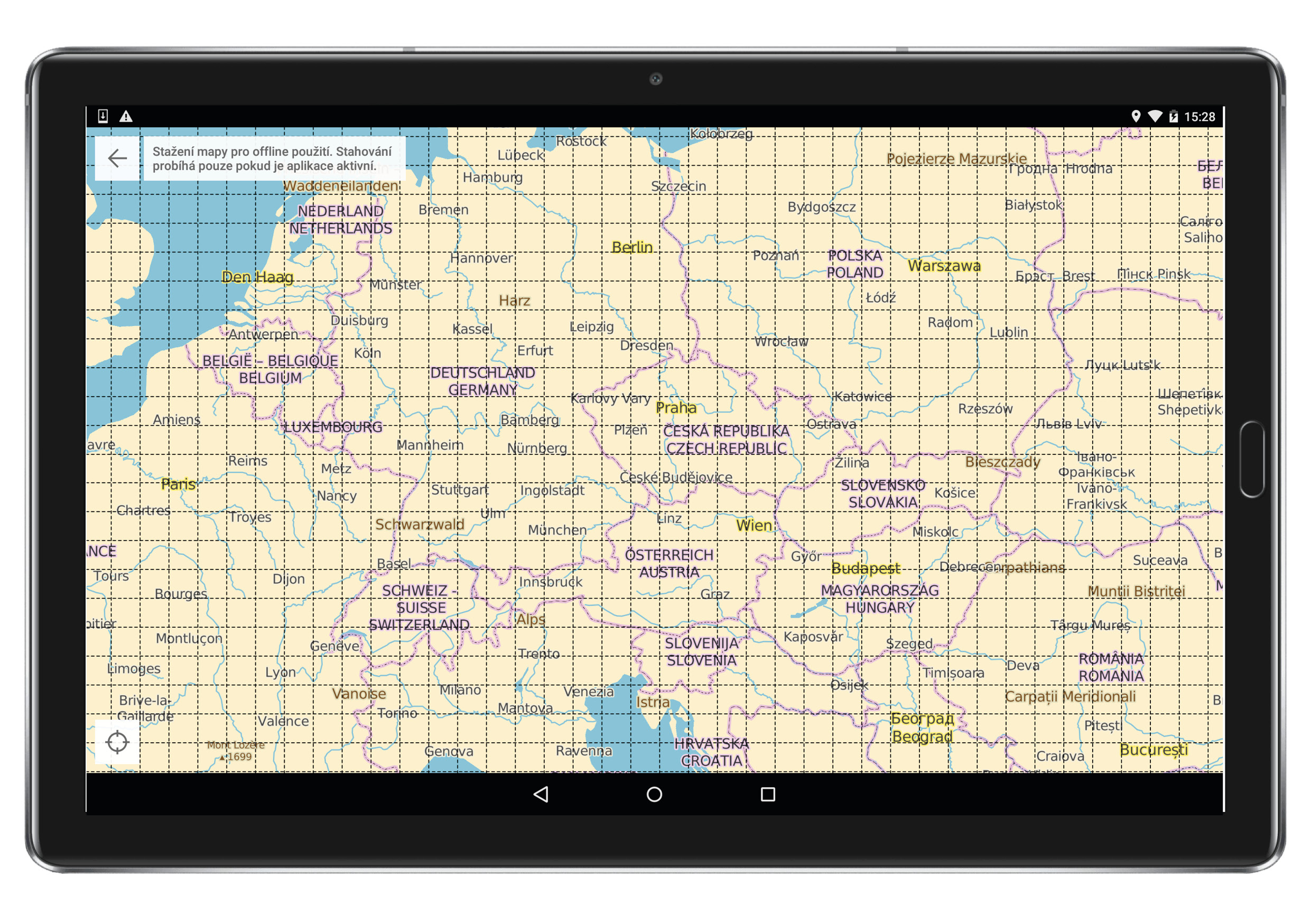
The mobile application is now available in 6 languages (Czech, Slovak, Polish, English, German and Italian) and works in online and offline mode, including the ability to download all maps of almost all of Europe up to a very detailed map scale. Since last year, the application has been working with vector maps, which, even with greater detail, are much smaller than raster maps, are easily zoomable, and can be rotated and joined. In addition, for the territory of the Czech Republic and Slovakia, the application also contains SHO raster cycling mapsCart. The maps are divided by a square grid into regular areas, and since the application and the maps are completely free, the user can download a map of the territory he needs at any time. Vector maps now contain a number of interactive objects with a more detailed description (address, opening hours, website, ...) and tourist attractions including photos and text description.
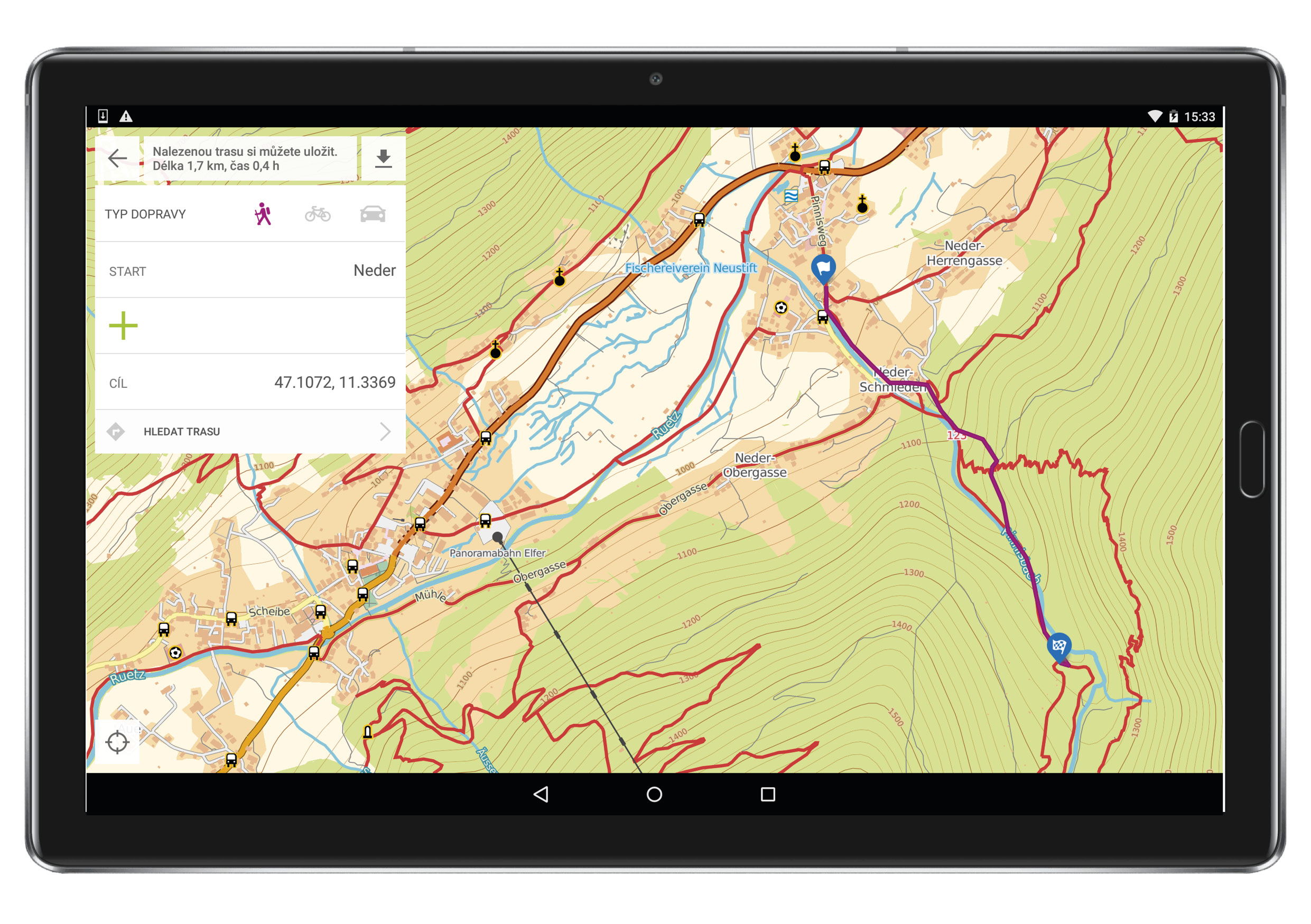
Of course, the application includes functions such as the current location of the user, searching for places, recording/importing/exporting/managing user routes, creating user points of interest, routing and searching for optimal routes on the map (for hikers, cyclists, cars) or statistics and height profiles of all routes
Raster maps
- SHO cycling mapCart (with tourist and cycling content) 1:25 – CR, SR – same as on cykloserver.cz
Vector map
- Tourist / cycling map 1:5 - Czech Republic, Slovakia, Andorra, Belgium, Bulgaria, Montenegro, Denmark, Estonia, Finland, France (western part), Croatia, Ireland, Italy, Israel, Liechtenstein, Lithuania, Latvia, Luxembourg, Hungary, Germany (southern part), Netherlands, Norway, Poland, Austria, Romania, Greece, San Marino, Slovenia, Spain, Sweden, Switzerlandcarsko, Great Britain
- Tourist / cycling map 1:25 + topographic map 000:1 - France (eastern part), Monaco, Germany (northern part)
- The scope of the map territory is constantly being expanded, the maps are updated by the publishing house's cartographic editors.
Download the app completely free without any restrictions
- You can download PhoneMaps for free for Android right here.
- You can download PhoneMaps for free for iOS right here.
