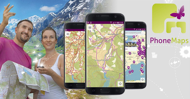
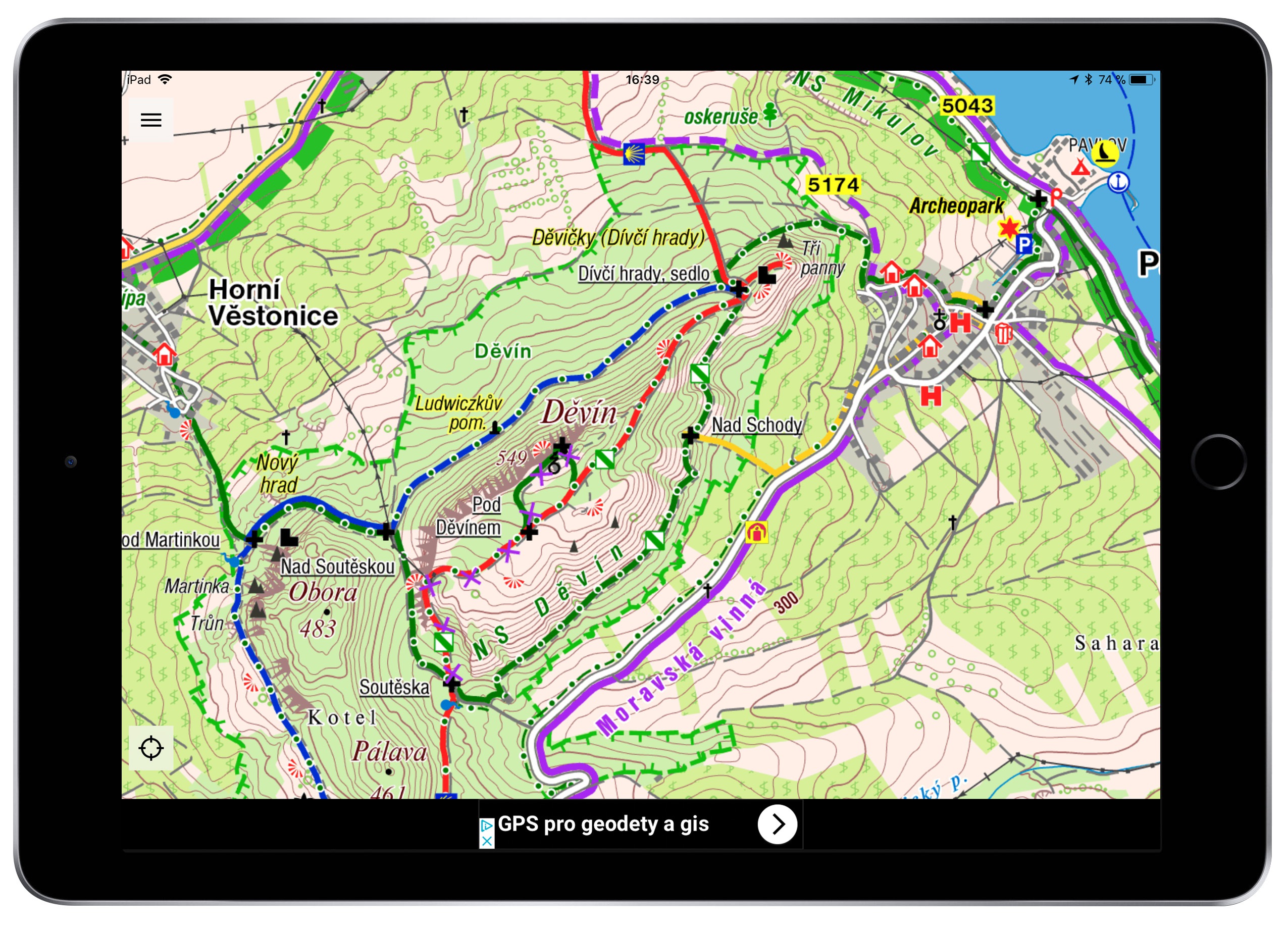
The PhoneMaps application was created for one purpose only. If you are an avid hiker or cyclist, you should definitely step up your game now. PhoneMaps is an application that offers maps - but not just any maps. This is an application that allows you to easily view tourist and cycling maps from all over the world. If you live a healthy lifestyle, exercise goes hand in hand, and prefer to make a fruit smoothie instead of Coca Cola, be sure to read this review. The application will become a useful helper for many a tourist.
With PhoneMaps, you have the world in the palm of your hand
As I mentioned in the introduction, this entire application revolves around hiking and cycling. What I will mention right from the start is that this entire application is free and you don't have to pay for it. Although ads are displayed in it, even application developers have to make a living. If you find the ads annoying and you are willing to pay a small amount, which is a ridiculous 99 crowns per year, to hide the ads, you can do so. You will get rid of ads and support the developers.
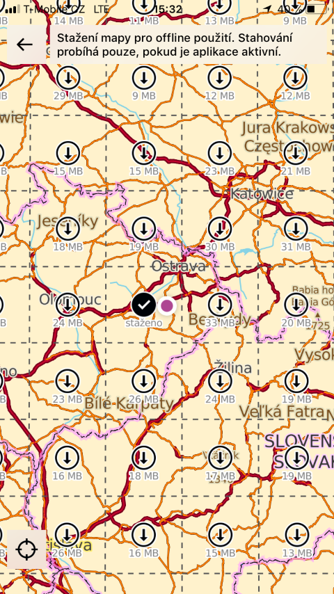
Another great feature of PhoneMaps is that it offers offline maps. This means that you don't need to connect to the Internet when you go out in the field. All you have to do is download a certain section directly to the device's memory in advance, and whenever you need it, even without a signal, you can view the map. It is this function that is the key to the application itself. Nowadays you have to pay for offline maps, but this is not the case with PhoneMaps maps. Everything is absolutely free.
How about the maps?
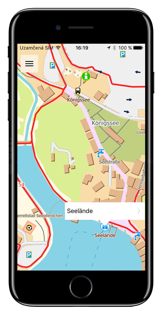
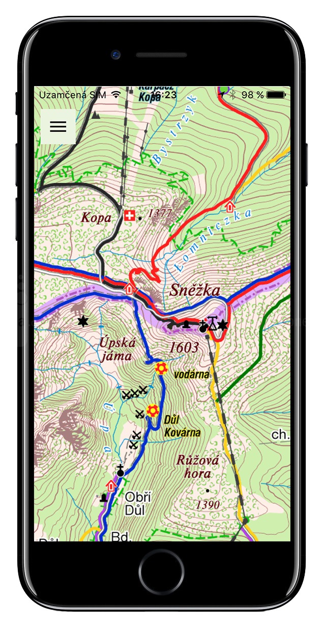
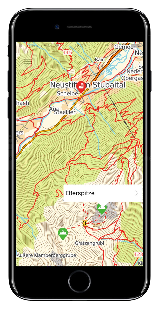
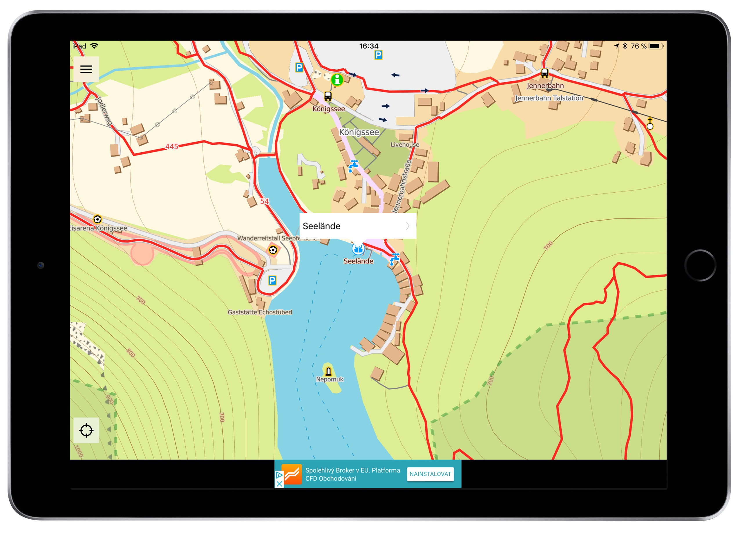
I'll stick with the available maps - if you're familiar with tourist and cycling maps, you'll certainly be pleased with the fact that the PhoneMaps application offers both vector maps of the whole world and raster maps for the Czech and Slovak Republics called SHOCart (you may know them from the cykloserver.cz portal). As I mentioned several times, even these raster maps are part of the application and you don't pay a penny for them.
I decided to devote one more special paragraph to offline maps. As a tourist, you will certainly appreciate maps that are offline. You'll save battery because you won't be dependent on Wi-Fi or mobile data, which drains the battery at a high rate... plus, if you don't want to take a power bank with you on a hike, every percentage of battery you save is worth it. So how do we download these offline maps to our device to use them? We will show this in the next paragraph.
How to easily download offline maps to your device
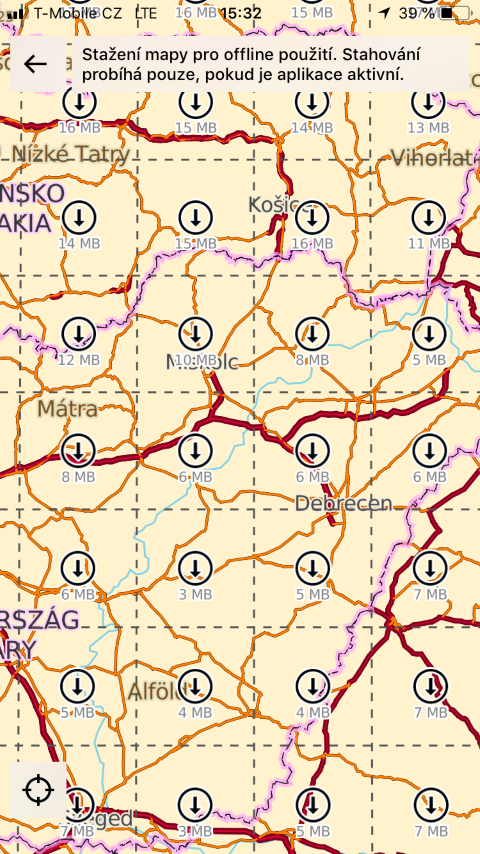
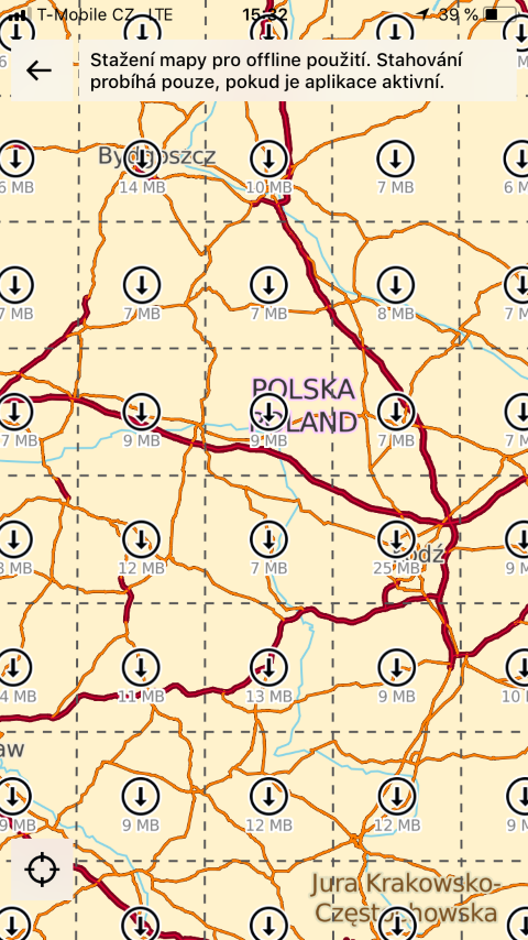
If you decide to download the maps directly to your device, the process is very simple. We open the application menu and select the first option, the Maps column. After clicking on this option, the entire map zooms in and creates a kind of "grid" on it in the form of small squares. Each square will then show how much space it will take up on your device and whether or not this section is currently downloaded. In this way, we can click on as many squares as we want - we will only be limited by the space in our device's storage. If we want to switch to offline mode, simply turn it on in the menu - using the switch labeled Offline mode.
Route planning
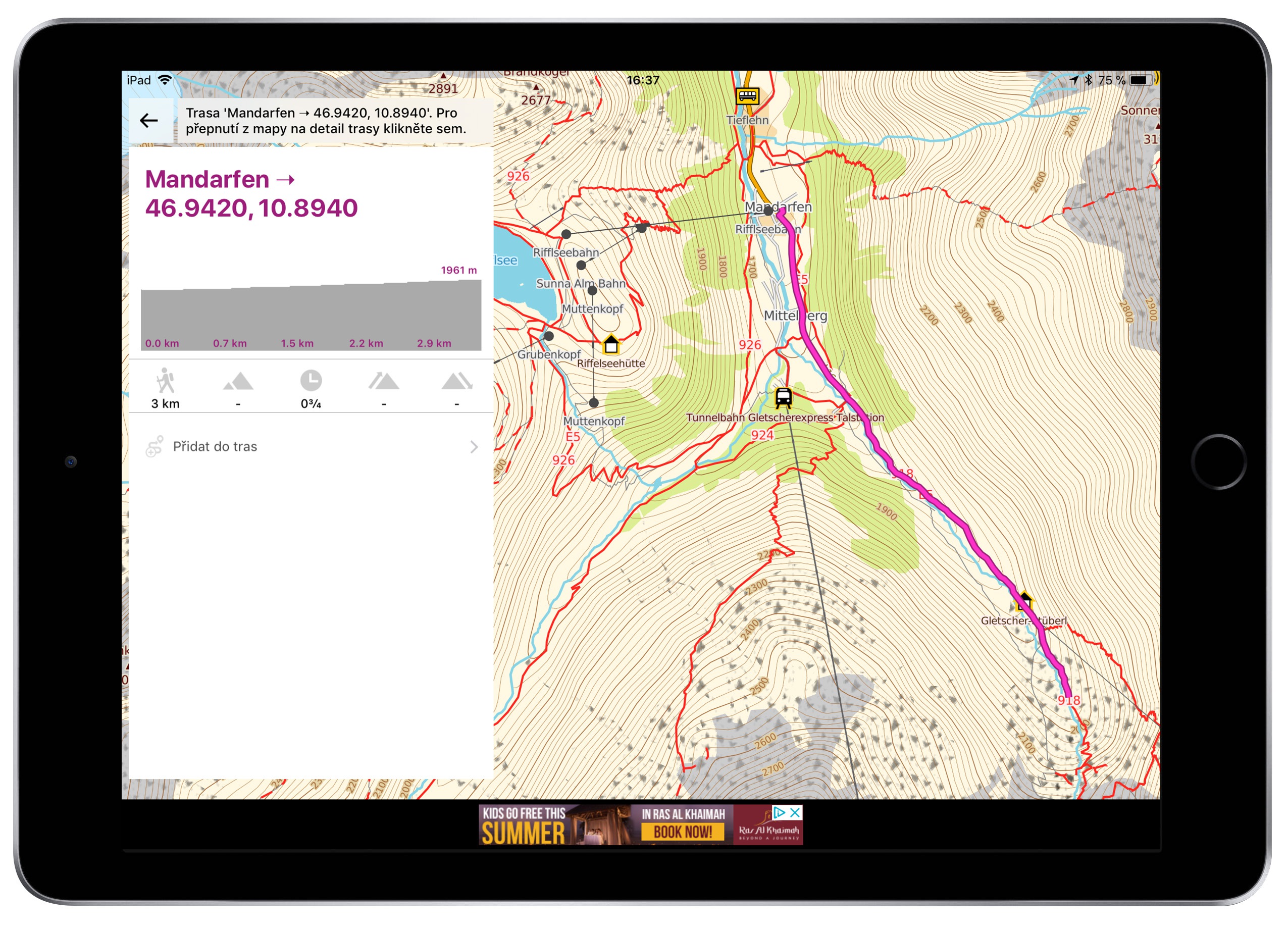
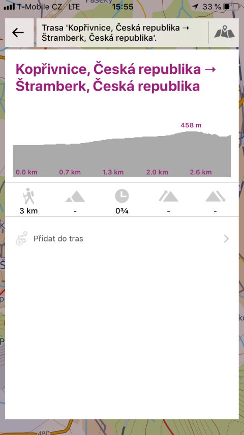
If it's nice outside and you don't have anything to do, one of the best solutions is sport - in this case, hiking or cycling. But before you go somewhere, you should plan your route. And that's exactly what the PhoneMaps application is for, which will help you with planning. It is enough to simply select the Route planning option in the menu and choose the start point together with the destination of the route. Of course, if you decide to extend the trip, you can also specify which places you want to pass through. After planning and selecting a route, you can view its info - i.e. length, how long it will take you or, for example, the elevation of the entire route.
Save route
Of course, you can also save all planned routes so that you can return to them at any time in the future. If you plan a route, you can find it in the My Routes tab in the menu. The same applies to the My points column - if you find an interesting or charming place during your trip through nature that gives you positive energy, you can simply save it. After saving, it will appear in the My Points section, and in case you decide to gain energy and strength, you can easily return to that place at any time using the map.
Route record
I will dedicate one more paragraph to the routes, namely the Route recording option. This is a very useful tool that you will definitely want to use. If you are already equipped for the trip, you have offline maps downloaded, your phone is sufficiently charged and the right shoes are ready, all you have to do is start the Route Record. As the name suggests, this tool will follow you during your hike and plot where you walked or rode today. Of course, even during the recording, you can add interesting places to the My points section or, for example, take photos of certain places.
Show off your knowledge from the guides
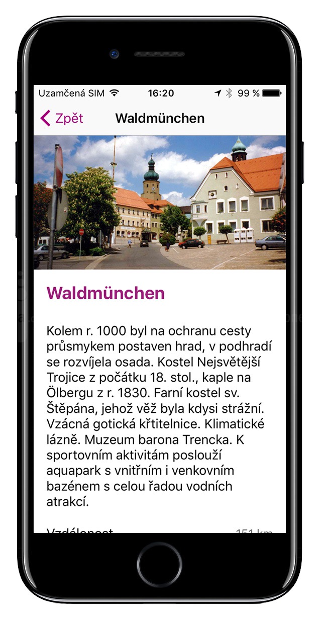
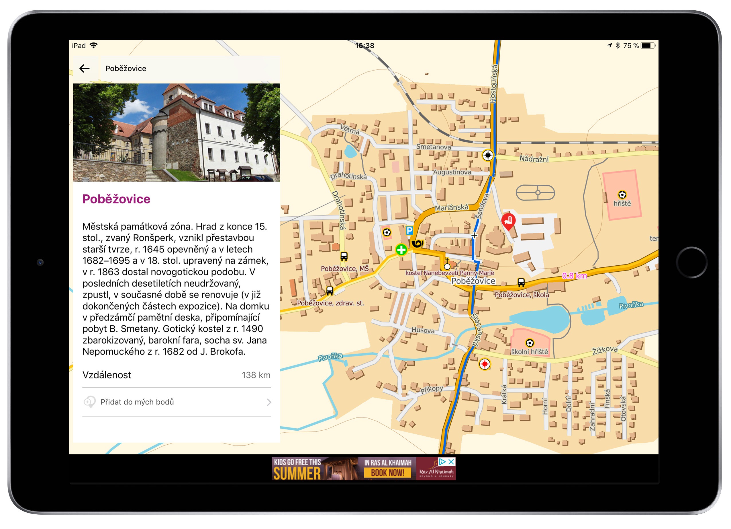
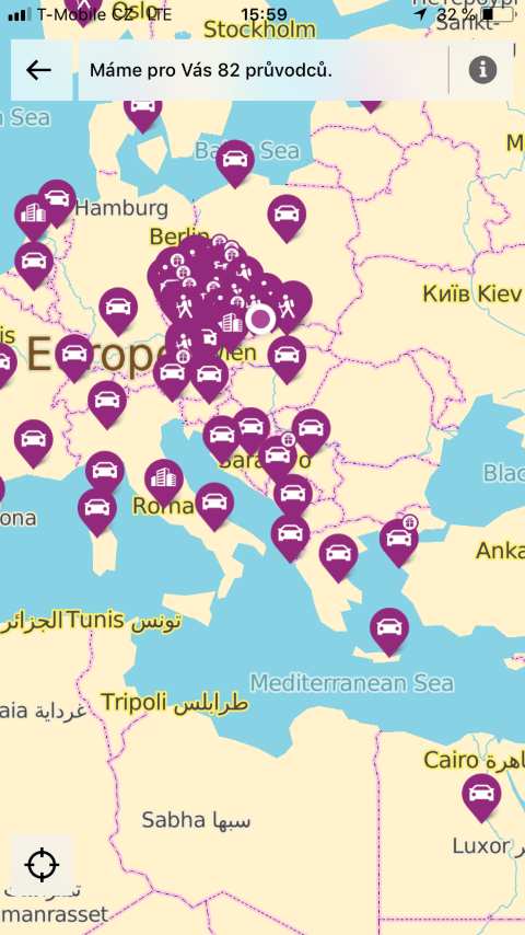
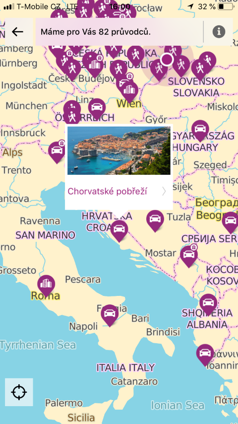
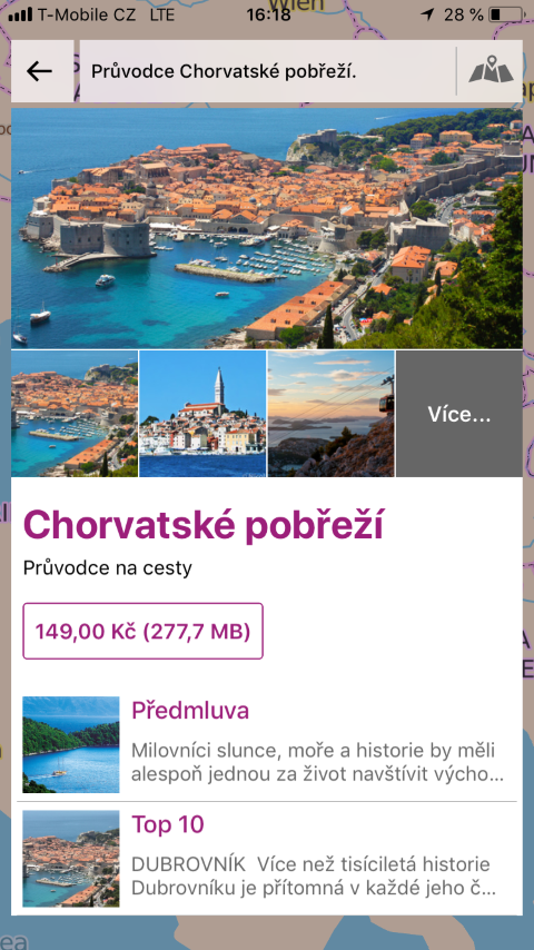
One of the last options found in PhoneMaps is guides. These are a kind of "mobile encyclopedias", which are divided into three types. The first type belongs to tourists, the second to cyclists and the third to classic people who, for example, went to a destination by car, but would like to learn something about it before they get there. All guides (at the time of writing, there were over 80 of them available) will be displayed in the menu in the Guides column. If one of the guides interests us, we can decide to buy it after a short preview and tasting. Any guides you ever purchase will then appear in the menu under the My Guides tab.
záver
If you love nature more than anything else and it makes you feel refreshed and happy, I think PhoneMaps is the app for you. The entire application is absolutely free. It does show ads, but they don't bother you. In addition, if the application really interests you and you would like to get rid of the ads, all you have to do is make a purchase for 99 crowns in the application settings and you will be free from ads for a year. Offline maps are what make PhoneMaps stand out from other hiking and biking apps. Finally, it is important to mention that the PhoneMaps application is available both for tourists with Androidi phone, and for tourists with an Apple phone. Should you decide to try them out, you can do so using the links below.
- You can download PhoneMaps for free for Android right here
- You can download PhoneMaps for free for iOS right here
