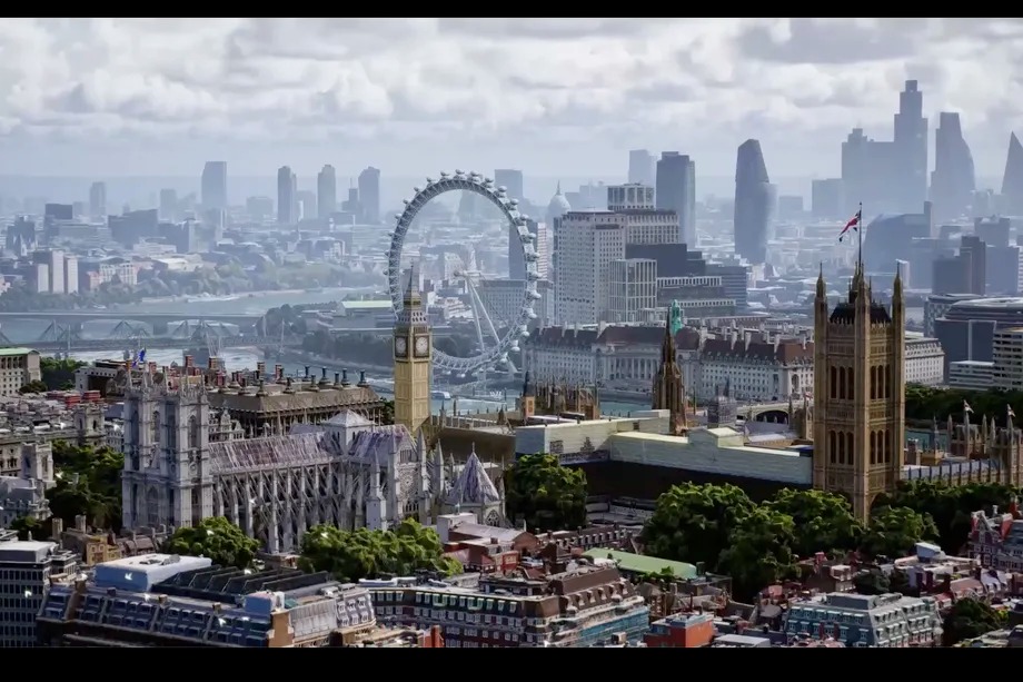
Google has introduced a new mode in its Maps designed to give users a more realistic view of the places they're going before they go. Immersive View is like Street View in the sky: you can look at a location from above to get an idea of its surroundings, then drop down to street level to see specific places you want to go.
All images in Immersive View are created by combining images from Google satellites and Street View mode. Moving around in the new mode feels like you're playing a medium detail game set in a precisely scaled real world. As Google adds, Immersive View works on most devices, but at the moment it is limited to only a few global capitals, namely San Francisco, New York, Los Angeles, London and Tokyo. However, more cities are to be added soon, so maybe we will see Prague as well.
You could be interested in

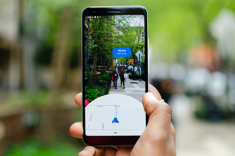
Google Maps is far from just an app for getting from one place to another. It's increasingly turning into a digitized version of the real world, which could have huge implications as augmented reality becomes more prominent and Google moves from browsing the web to browsing our planet. And Immersive View clearly shows what Google can do with the data at its disposal.

