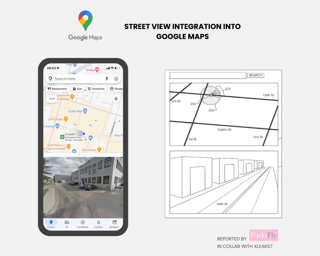
In today's digital age, maps have become an indispensable tool for navigation, they help us find our way through unknown areas, plan trips, search for nearby places, find out the length of the route, etc. One of the most popular map and navigation applications has been Google Maps for a long time. Now, a patent has surfaced in the ether that describes something that could help significantly improve Maps navigation. We are talking about the integration of maps seen from above and the Street View function.
Imagine being in a busy city and relying on your map app to guide you to your destination. While the overhead view provides a general sense of direction, it fails to capture the nuances of the environment around you.
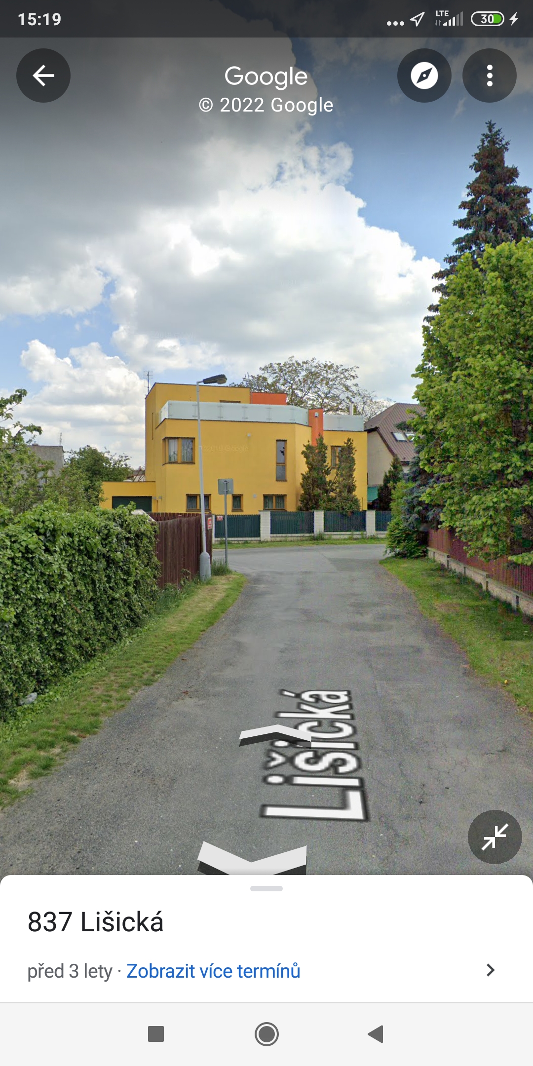
Street-level views, such as those offered by Street View in Google Maps, offer a more immersive experience, but navigating between them can be cumbersome and disorienting. This "disconnect" between the aforementioned map views is addressed by a new patent for Maps published by ParkiFly in collaboration with leaker David (aka @xleaks7). The patent presents methods and systems for integrating top-down maps with street-level views.
Specifically, it features a dual-area user interface, with the top half of the screen showing a traditional "above ground" map and the bottom a street view. Central to this innovation is an interactive map overlay control that allows users to seamlessly adjust the map view.
You could be interested in
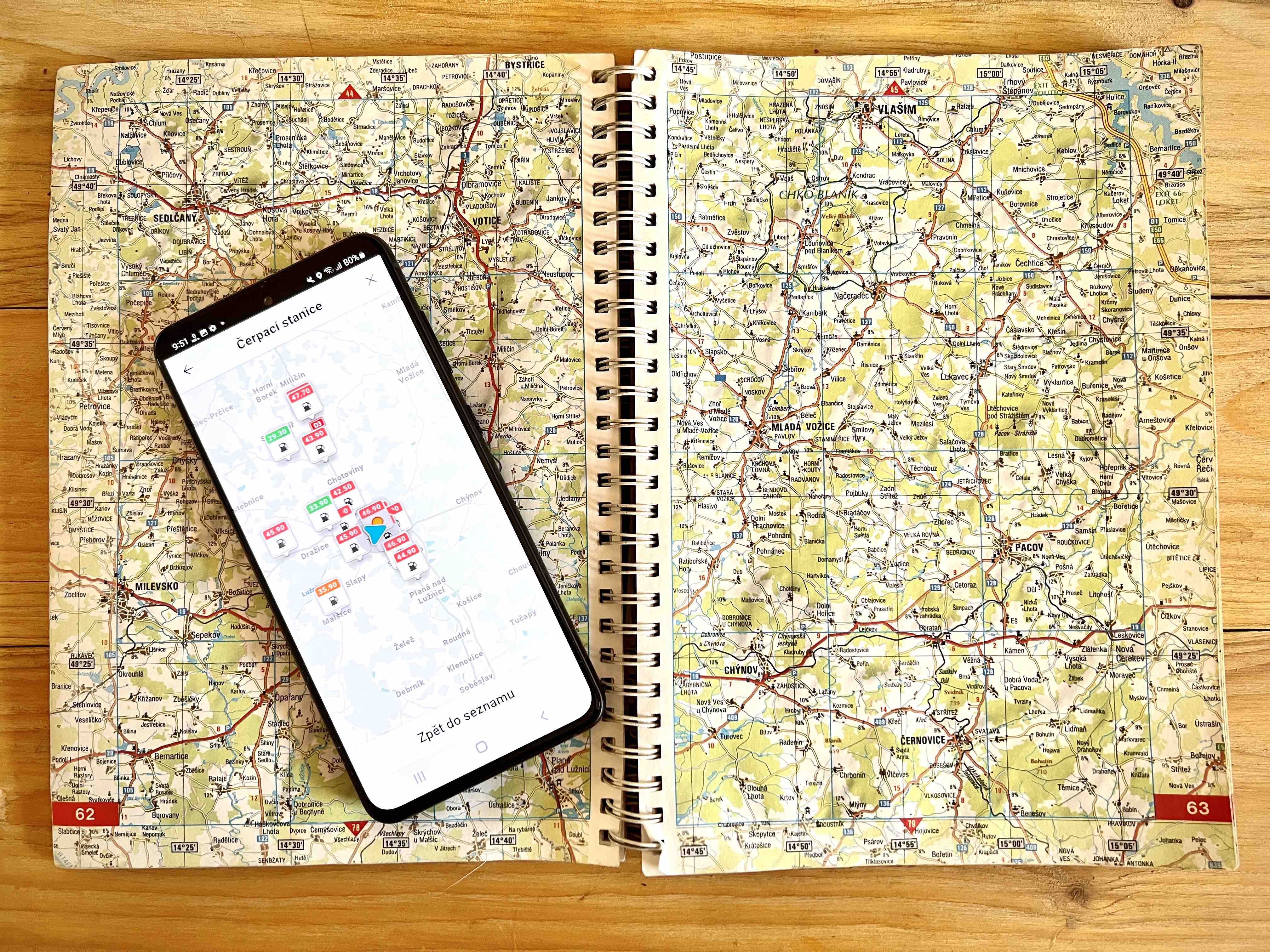
For the driver, this integration would offer a number of advantages. The combination of comprehensive top-down map clarity and an immersive street-level view could contribute to much smoother navigation. And this integration could be especially useful when the driver is close to his destination. So hopefully this patent will not remain "on paper" and if possible in the near future it will become a feature.
